
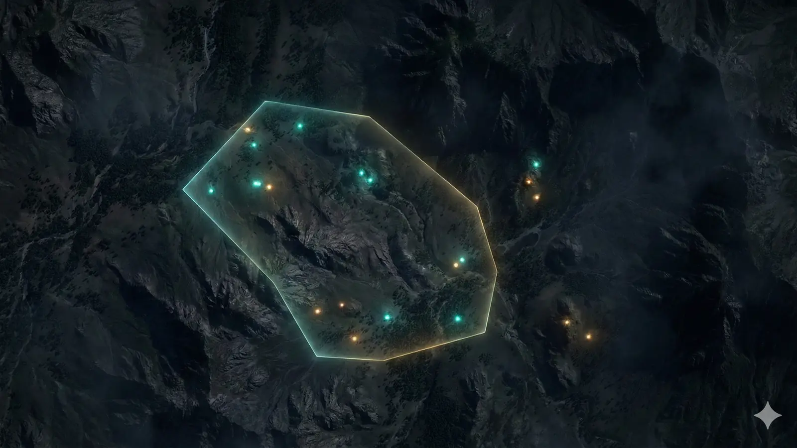
Scanminers helps exploration teams use remote-sensing evidence as part of a geological decision system. The work is designed for early-stage screening, tenement comparison, target refinement, and preparation of focused field programs.
What the service is designed to answer
- Which parts of an AOI contain the strongest combination of relevant evidence?
- Which anomalies remain plausible after land-cover, terrain, and data-quality checks?
- Where would field mapping, geochemistry, or geophysics reduce uncertainty most?
- What evidence supports each priority, and what could cause a false positive?
- How should a team sequence follow-up under a defined budget or timing constraint?
Evidence selected for the mineral system
A study may draw from multispectral optical data, hyperspectral data where suitable, synthetic aperture radar, digital elevation models, geology, geochemistry, geophysics, historical work, and known occurrences. Selection depends on expected surface expression, terrain, cover, archive quality, and the deposit model.
Where remote sensing adds the most value
Remote sensing is particularly useful when the AOI is too large for uniform initial field coverage, evidence lives in separate systems, or the team needs a reviewable basis for selecting the next survey area. It can also help compare multiple licences using a consistent evidence framework.
Where another method should lead
A remote study may be a poor first step when diagnostic surface information is absent, the AOI is too small for available sensor resolution, recent high-quality field evidence already answers the question, or the decision depends directly on subsurface geometry, grade, metallurgy, or continuity.
In those situations, detailed mapping, geochemistry, geophysics, drilling, laboratory analysis, or another specialist method may need to come first.
Deliverables
- Input inventory and suitability assessment.
- Processed and documented evidence layers.
- Regional prospectivity or priority maps.
- Ranked zones or target register with rationale.
- GIS-ready files for technical teams.
- Uncertainty and limitations ledger.
- Recommended field-verification sequence.
How an engagement starts
Share the AOI, commodity, deposit thesis, exploration stage, available data, and the decision you need to make. The first response is a fit review: whether remote intelligence can materially help, what inputs are likely to matter, and what should happen next.