
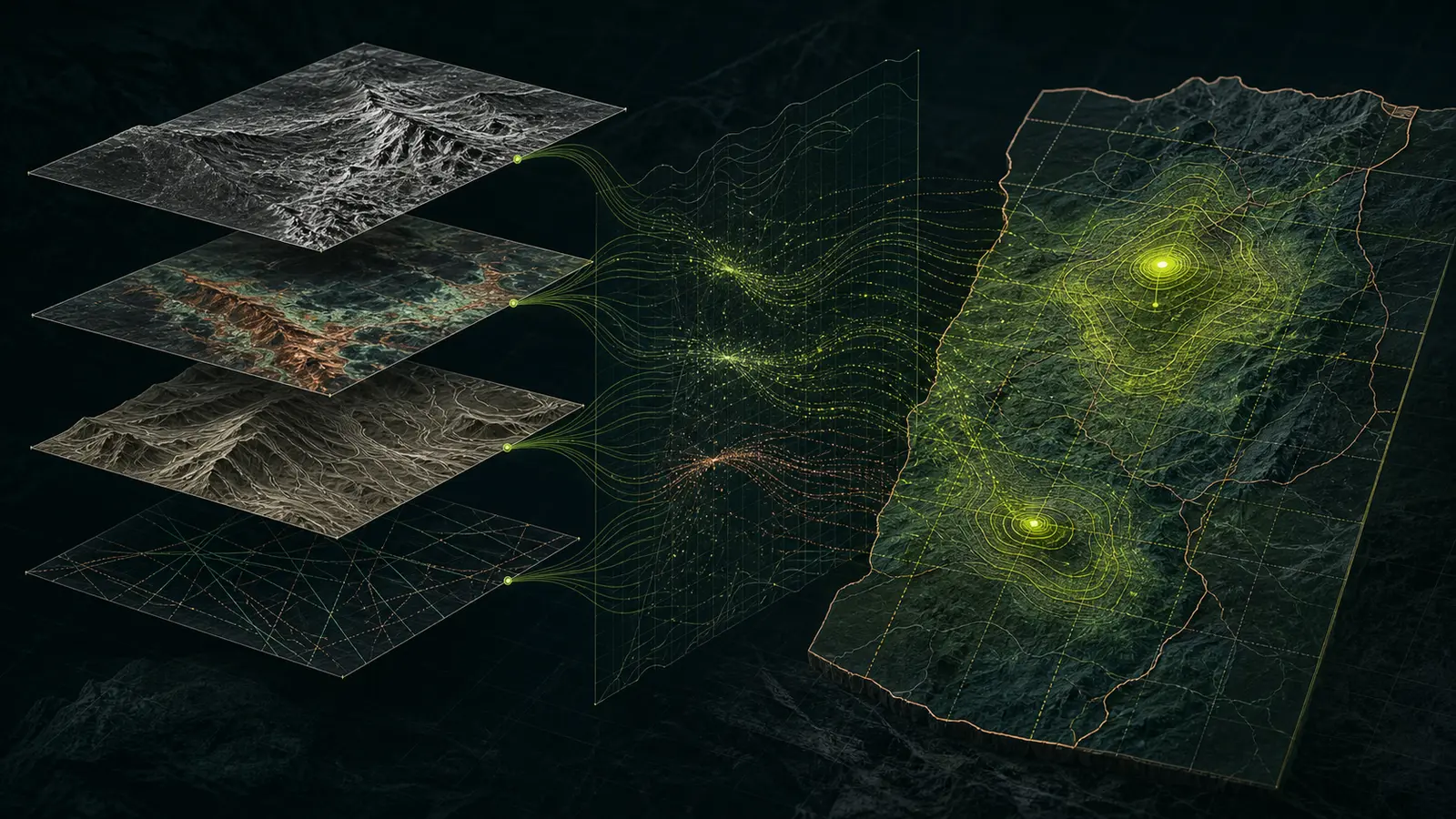
Scanminers uses remote sensing and AI-assisted analysis as decision-support tools. The method is designed to help an exploration team compare evidence across an AOI, rank where to investigate, and understand why each priority moved up or down.
1. Frame the exploration decision
Before selecting imagery or a model, the team defines the commodity thesis, deposit style, geological setting, area of interest, exploration maturity, available evidence, operating constraints, and the decision the analysis must support.
What must the team decide next, and what evidence would materially change that decision?
This prevents a generic sensor stack from being applied to every terrain and mineral system. A bauxite screening problem, a porphyry alteration problem, and a structurally controlled target beneath vegetation require different evidence and different limits.
2. Audit and prepare the evidence
Every input is checked for provenance, acquisition date, processing level, coverage, spatial resolution, artifacts, and relevance to the deposit model. Optical scenes are screened for cloud, shadow, vegetation, snow, and atmospheric effects. Radar and elevation data are evaluated for geometry, terrain distortion, resolution, and directional bias.
- Sensor and product suitability.
- Coordinate reference and spatial registration.
- Comparable radiometric and atmospheric treatment.
- Known data gaps and exclusions.
- Historical evidence quality and sampling bias.
Unsuitable inputs are excluded. More layers do not automatically make a stronger model.
3. Construct interpretable geoscience features
Suitable inputs are transformed into evidence layers that answer geological questions. Depending on the AOI, these may represent alteration-related surface responses, lithological contrast, structure, terrain position, drainage, morphology, geochemistry, geophysics, or proximity to independently mapped features.
Each layer receives a short evidence statement: why it is relevant, how it was derived, what can bias it, and what it cannot prove.
4. Integrate and challenge the evidence
Evidence can be combined through expert weighting, statistical models, explainable machine learning, or a hybrid. The choice depends on the availability and quality of labels, the size and geology of the AOI, and the decision tolerance.
The technical review checks:
- Whether correlated layers are counting the same observation repeatedly.
- Whether known occurrences leak into predictors or validation.
- How rankings respond to reasonable alternative weights or models.
- Whether land cover, terrain, infrastructure, or data density can explain the signal.
- Whether the result is geologically coherent beyond the training examples.
5. Rank field priorities with uncertainty visible
Outputs are organized as tiers or ranked zones, not false precision. Each priority carries its principal drivers, evidence completeness, competing explanation, sensitivity, and recommended field check.
| Target field | Decision purpose |
|---|---|
| Priority tier | Sequences investigation without claiming certainty |
| Evidence drivers | Explains why the target ranked |
| Confidence context | Shows completeness and stability |
| Alternative explanation | Makes false-positive risk visible |
| Field check | Defines the next observation or sample |
| Downgrade condition | States what could reject the interpretation |
6. Package the next move
A decision-ready handoff may contain:
- An executive prospectivity brief.
- GIS-ready evidence and priority layers.
- A ranked target register.
- Evidence provenance and processing notes.
- Uncertainty, sensitivity, assumptions, and limitations.
- A sequenced field-verification plan.
Human judgment remains accountable
AI-assisted analysis can accelerate comparison, feature ranking, sensitivity testing, and documentation. It does not replace geological interpretation. The team remains accountable for the mineral-system thesis, evidence suitability, interpretation, and the language used to communicate the result.
Scientific boundary
The methodology supports regional screening and exploration prioritization. It does not establish grade, thickness, continuity, metallurgy, economic viability, a mineral resource, a mineral reserve, or a discovery. Those conclusions require appropriate field, laboratory, drilling, economic, and reporting work.