
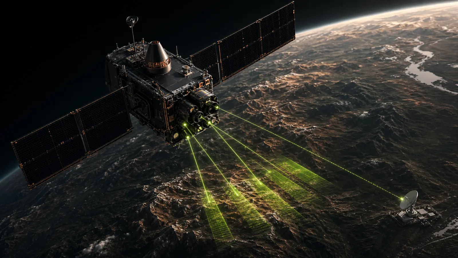
Remote sensing gives an exploration team a consistent view across an area of interest before every location can be visited. It is particularly useful when the decision is regional: which corridors deserve detailed mapping, where should geochemistry be extended, and which anomalies need a field explanation?
It is not a remote discovery machine. A spectral or structural anomaly is evidence to investigate, not proof of mineralization. The value comes from combining observations, geological context, known occurrences, and uncertainty into a defensible sequence for follow-up.
What remote sensing can observe
Earth-observation sensors record reflected or emitted energy and, in the case of radar, the response of the surface to an active microwave signal. Different instruments therefore contribute different evidence:
- Multispectral optical data can map broad lithological contrast, iron-bearing surface responses, vegetation, moisture, and selected alteration-related patterns.
- Hyperspectral data samples many narrower spectral bands and may separate diagnostic absorption features with greater specificity where surface exposure and signal quality permit.
- Synthetic aperture radar (SAR) is sensitive to surface roughness, geometry, moisture, and viewing direction. It is valuable for terrain interpretation and structural context, including in cloudy regions.
- Digital elevation models support drainage, slope, curvature, relief, lineament, and geomorphological analysis.
- Thermal infrared observations add information about surface emissivity and thermal behavior that can support lithological interpretation.
The U.S. Geological Survey’s ASTER mineral-mapping work demonstrates how satellite observations can support regional mineral and hydrothermal-alteration mapping. ESA likewise describes Sentinel data as an input to geological mapping rather than a replacement for field expertise in its overview of Sentinels helping to map minerals.
The exploration question comes first
A credible workflow begins with the decision—not a preferred algorithm or sensor. Before processing imagery, the team should define:
- The commodity and deposit model under consideration.
- The area of interest and exclusions.
- The exploration stage and next capital decision.
- The evidence already available.
- The terrain, cover, vegetation, and seasonal constraints.
- What would count as a useful result.
The appropriate data stack for exposed hydrothermal alteration is different from the stack for structurally controlled mineralization beneath vegetation or transported cover. Sensor selection must respond to the mineral system and surface expression.
From imagery to exploration evidence
Raw imagery is not an exploration deliverable. A useful analysis normally requires:
1. Data suitability and preprocessing
Scenes are screened for acquisition date, clouds, shadows, snow, vegetation, sensor artifacts, terrain effects, and spatial registration. Atmospheric and radiometric corrections must be appropriate to the product and intended comparison.
2. Geoscience feature construction
Processing transforms imagery and terrain data into interpretable evidence layers. These may include spectral ratios, mineral-group responses, structural trends, topographic position, drainage characteristics, proximity measures, or contextual geology.
3. Evidence integration
Layers are evaluated together rather than treated as independent proof. The integration method may be expert-weighted, statistical, machine-learning based, or a combination. The choice depends on label availability, sampling bias, spatial scale, and the decision being supported.
4. Ranking and uncertainty
Prospective areas are ranked with their principal drivers, confidence context, and known limitations. The output should show why a zone ranks highly and what could produce a false positive.
5. Field verification
The ranked result becomes a field plan: what to observe, sample, map, or survey first; what result would strengthen the interpretation; and what result would cause the team to downgrade it.
Common failure modes
Remote-sensing studies lose credibility when they:
- Treat a color anomaly as a mineral identification.
- Mix scenes or sensors without comparable preprocessing.
- Train and test models on spatially dependent samples.
- Use known mines as both predictors and validation without controlling leakage.
- Ignore vegetation, regolith, transported cover, illumination, or terrain effects.
- Report a single accuracy number without class balance, sampling design, or uncertainty.
- Present drill-ready language where only screening evidence exists.
These are not merely technical details. They determine whether the result can survive review by an exploration geologist or investment committee.
What a decision-ready output should contain
A remote-sensing exploration package should include:
- Input inventory and provenance.
- Processing and exclusion decisions.
- Evidence layers tied to the deposit model.
- Ranked zones or targets in GIS-ready formats.
- Per-target rationale.
- Confidence and sensitivity context.
- Known limitations and alternative explanations.
- A sequenced field-verification plan.
That combination makes the work inspectable. It lets a team challenge the interpretation, update it with field evidence, and decide where another method—geochemistry, geophysics, mapping, or drilling—must take over.
The practical boundary
Remote sensing is strongest as a regional screening and prioritization tool. It can reduce the search space and make evidence easier to compare. It cannot establish grade, thickness, continuity, metallurgy, economic viability, a mineral resource, or a mineral reserve.
The defensible claim is therefore not “we found a deposit from space.” It is: “we organized the available evidence into ranked, testable field priorities and documented why each one deserves attention.”
References
- Rockwell, B.W. (2012), USGS methodology for mapping mineralogy and hydrothermal alteration from ASTER.
- Mars, J.C. et al. (2017), integrating ASTER alteration mapping into quantitative mineral-resource assessment.
- European Space Agency, Sentinels helping to map minerals.