
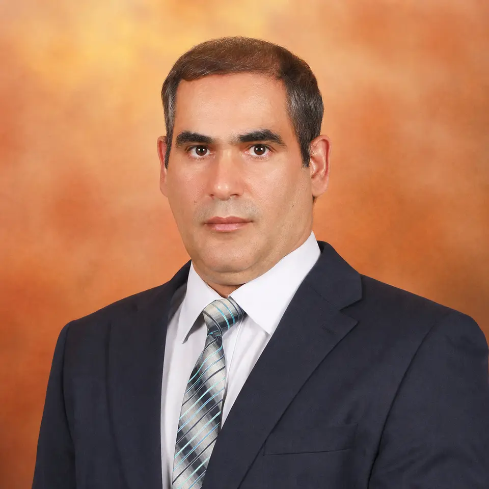
Dr. Amin Beiranvand Pour provides the scientific foundation for Scanminers’ remote-sensing and mineral-prospectivity work. His focus is the responsible interpretation of multi-sensor evidence within geological and exploration context.
Areas of expertise
- Geological remote sensing and image interpretation.
- Multispectral and hyperspectral analysis.
- Multi-sensor evidence integration.
- Critical-mineral and mineral-system targeting.
- Remote-sensing applications in complex terrain.
Role at Scanminers
Dr. Amin helps shape the geological question, sensor suitability, evidence logic, interpretation, limitations, and field-verification requirements behind Scanminers studies. The objective is to keep AI-assisted workflows grounded in observable evidence and appropriate scientific claims.
Research identity
Publications and research identity should be evaluated at the source. View Dr. Amin’s independently maintained ORCID record.